Birmingham Downtown Overlay District Code
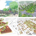
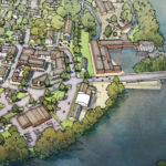
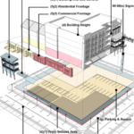
The Downtown Birmingham Overlay District is a mandatory integrated and text-based form-based code. Although there are no diagrams in the adopted code and no illustrations, the code has been part of a highly illustrated optional master plan guiding downtown development for years. The requirements are keyed to specific locations on a regulating plan that sets a layer of mostly height-based districts on top of existing zoning code specified districts. The overlay includes standards, emphasizes urban form with predictable physical outcomes and requires buildings to shape public space. It specifies building and architectural features such as heights, eave lines, roof slopes, stories, setbacks, awnings, parking, signs and uses while promoting and conserving an existing interconnected street network and pedestrian-scaled blocks downtown. The purpose of the overlay is to formally adopt the form-based code included in the highly illustrated optional 1996 ‘Downtown Birmingham 2016’ master plan, one of the first form based codes in the country and the first in Michigan.
Code Documents:
https://formbasedcodes.org/wp-content/uploads/2014/04/birmingham-downtown-overlay-district.pdf
Code Documents
Code Categories
Physical Contexts:
Organizing Principles:
Implementation Methods:
Development Types:
Special Features:
NoneDriehaus Awards:
No Award


