Clark County, Highway 99 Subarea Plan
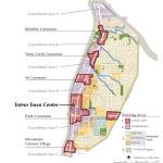
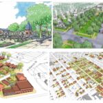
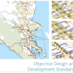
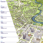
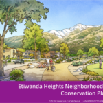
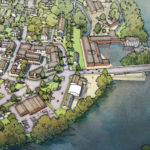
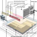
Hwy 99 Subarea Plan in Clark County, WA is a form-based code for the historic Hazel Dell unincorporated area. The Subarea Plan is subdivided into 4 types of Planning Areas of varying urban intensity that include neighborhood centers (activity centers), transitional areas, residential areas, and a unique agricultural heritage zone. There is an overall regulating plan but each planning area incorporates its own regulating plan as well. Zoning standards are designated per planning area, frontage type, and street type although street types are simply outlined on regulating plans. Standards are keyed to specific locations on the Planning Area regulating plans and emphasize parameters for form with predictable physical outcomes (first floor transparency, frontage type requirements, building height, etc.). Hwy 99 Subarea Plan is highly illustrated and envisions a town of distinct neighborhoods surrounding pedestrian-oriented neighborhood centers (Activity Centers) and Transitional Areas. The form-based code also includes site design guidelines addressing internal pedestrian and vehicular circulation, building design guidelines, building and housing types, as well as parking, lighting, landscaping and streetscape standards. The code reflects the goals of community input and the Highway 99 Plan and was developed with the help of Team 99, a technical advisory committee, a developer sounding board, and design consultants.
Code Documents:
https://formbasedcodes.org/wp-content/uploads/2014/08/Clark-County-Hwy-99-FBCr.pdf
Code Documents
Code Categories
Physical Contexts:
Organizing Principles:
Implementation Methods:
Development Types:
Special Features:
NoneDriehaus Awards:
No Award


